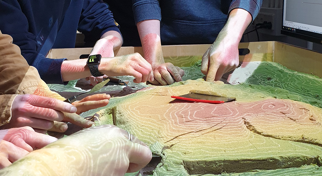
GIScience/Geodesign
The research group GIScience/Geodesign is focussing on GIS, geodesign and geodata – both as a computer based technique and in relation to the scientific and epistemological foundation of the field.

Activities and topics involve collection, storage, analysis and presentation of spatial data. Further also the context e.g. in terms of communication, planning processes and public participation is involved.
A major part of our activities are related to teaching and research in collaboration with other academic fields of the institute: Geography, landscape architecture, forest inventory, landscape planning, urban design, and recreational planning.
- GIS/CAD: A platform for geo-communication and spatial planning support systems.
- Geodesign: A new field of knowledge integrating the descriptive focus of GIS on registration/mapping and analysis with the prescriptive, design oriented modus of CAD/Design systems.
- Spatial movement patterns: Registration, analysis and simulation of individual human beings in urban or natural spaces.
- Simulation of human behaviour: Cellular Automata Models (CA) and Agent-Based Models (ABM).
- Historical maps and land use change detection.
- Open GIS and open geo-data.
- Remote Sensing and LIDAR.
- Big data - the vast amount of data presently coming out of public space. Big data that can include tracking data (from GPS/smartphones), social medias (e.g. Facebook or Twitter), Internet transactions (e.g. Internet retail activities) etc.
- Climate Change resilience in urban mobility" finansieret af Danida over 3 år. Analyse af skybrudskonsekvenser i Accra, Ghana Thomas Balstrøm
- Guy Carpenter, re-insurance co., Belgium: Flash Flood Development Method Thomas Balstrøm
- ESPON ReSSI – Regional strategies for sustainable and inclusive territorial development (Dec 2016 – Nov 2017, www.espon.eu/ressi) Christian Fertner
- H2020 URBAN WASTE - Urban strategies for waste management in tourist cities (June 2016 – Mai 2019, www.urban-waste.eu) Christian Fertner
- SINKS 2 – finansieret af Miljø- og Fødevareministeriet Patrik Karlsson Nyed
- Langsigtede feltforsøg – finansieret af Hartmann-fonden Patrik Karlsson Nyed
- Transparent Urban Waterways, Climate-KIC - finansieret af Vejle Kommune Patrik Karlsson Nyed
- Natur på recept Patrik Karlsson Nyed
- GROW Patrik Karlsson Nyed
- Socialt udsatte brogeres rumlige adfærd i Odense. Finansieret af Odense Kommune Hans Skov-Petersen
- Opdatering af den digitale overflademodel i henhold til opførte bygninger. Finasieret af Styrelsen for Dataforsyning og Effektivisering (SDFE) Hans Skov-Petersen
Completed projects
- Urban structure and bicycling. Project for the Danish Nature agency (in collaboration with the technical university of Denmark).
- Human movement patterns in urban spaces. PhD project
- Mafreina - Management toolkit freizeit und natur. Agent based modelling
- Bikeability – cities for zero emission travel and public health
- Recreations’ effects on nature
- Wildlife and landscape. Land use change detection and Agent Base Modelling
Geographical Information Systems (GIS)
Geodesign
Members of the Research Group
| Name | Title | Phone | |
|---|---|---|---|
| Christian Fertner | Associate Professor | +4535331782 | |
| Erling Andersen | Senior Adviser | +4535331813 | |
| Hans Skov-Petersen | Professor | +4523828045 | |
| Mariusz Maria Hermansdorfer | PhD Student | ||
| Patrik Karlsson Nyed | Academic Research Staff | +4535331832 | |
| Thomas Balstrøm | Associate Professor | +4535335396 |
Head of Research Group
 Hans Skov-Petersen
Professor
E-mail: hsp@ign.ku.dk
Tel.: +45 35331816
Mobile: +45 23828045

